
Digital Recording in the Blue Mountains, NSW
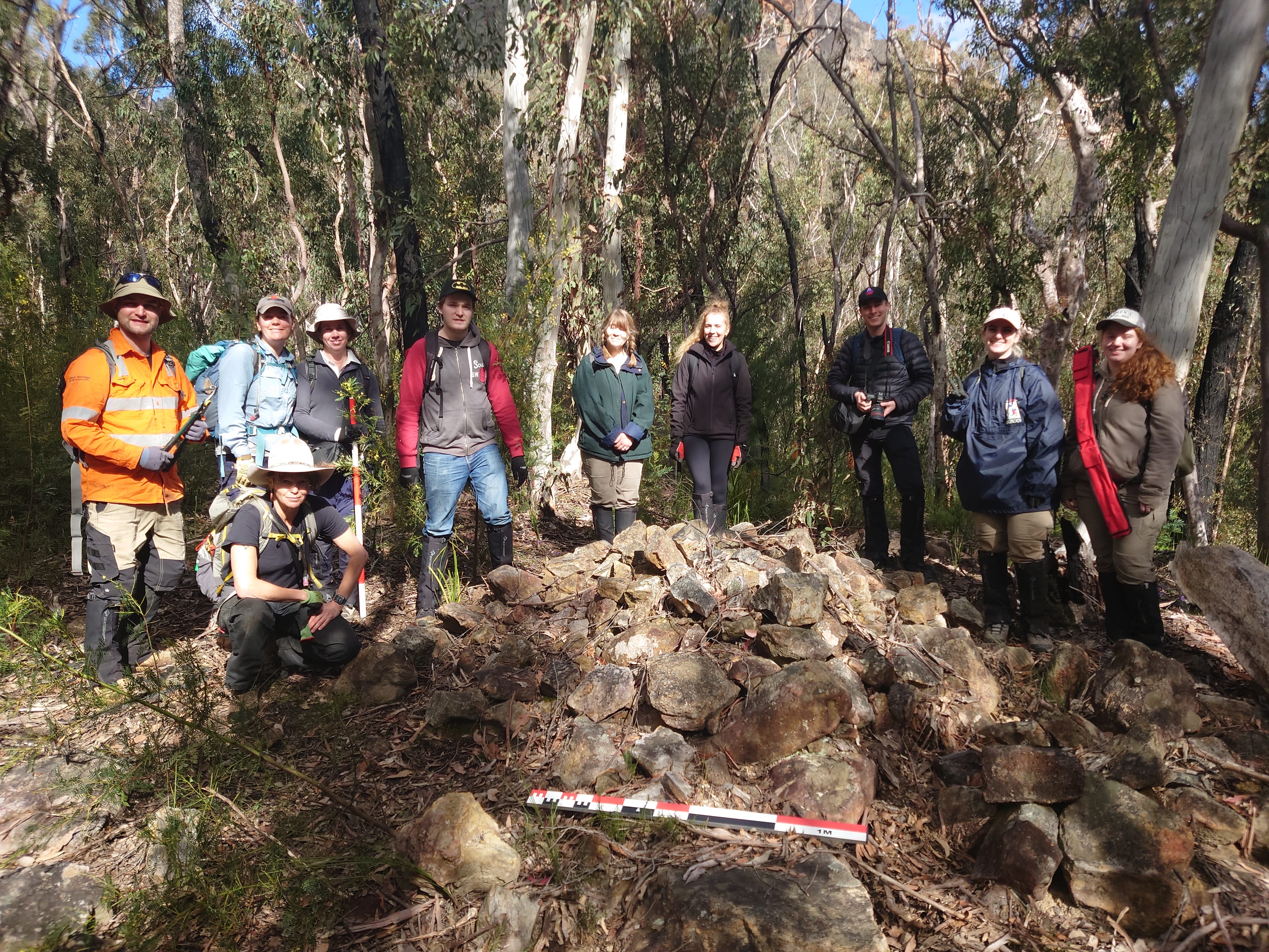
On 17 to 19 September a team of archaeologists and MQ students returned to the Jamison Valley, Blue Mountains, to conclude a survey of shale-oil mining ruins as part of the ARC Linkage Project: ‘History, heritage and environmental change in a deindustrialised landscape’.
Led by Tanya Evans, the project is weaving together multiple strands of archaeological, archival and oral history research to explore daily life for miners living in the valley in the late 19th and early 20th centuries. It is more than a data-collection exercise, we have concrete goals for data integration, distribution to community interest groups and management planning with the Blue Mountains World Heritage Institute (BMWHI) and the NSW National Parks and Wildlife Service.
It was the tenth deployment of a FAIMS digital recording platform in the Jamison Valley since June 2014 when we first began working with the BMWHI to record the remains of the Bleichert Ropeway.1
While we recorded on FAIMS 2.6 module,2 we took a demonstration FAIMS 3 notebook for a test drive.
This was the first time back in the field since April 2021 (two planned seasons of survey were cancelled owing to COVID restrictions and, more recently, floods) and the author—best known as an artefact specialist (= not a field archaeologist)—confesses to being a little rusty on the field preparation. I had the tablets, the cords and a new gear bag but updating user lists on the FAIMS 2.6 server, pushing to tablets, flushing test records, forcing updates, checking version numbers were all small hurdles forgotten in the modern architecture of FAIMS 3. In our rebuild these administrative tasks can be done on device and design tweaks are automatically refreshed (while online).
It was nice to be in the field, of course, and to try out some new hardware: the Bad Elf and our new Samsung A7 tablets. As far as performance goes, the A7s were superior to our aging, heavy, screen cracked tablets used in previous seasons. They were faster and the battery life was good—no nail-biting scramble to record one last thing before the tablet on 1% power dies in your fingertips—but we did struggle with the screen visibility. In low light, under dense canopy, the screen was only visible if held at particular angles. This was fine once you found the ‘sweet spot’ but did make it challenging when glancing over the shoulder of trainees learning to use the system.
As we wrapped up the final season of survey, our attention is turning to the next stages of the project: excavation, management planning and outreach. Here we face some well known challenges: aggregating data from all seasons (already done); auditing and refining data from all seasons (in progress); and integrating survey data with an amazing trove of archival data collected by historians Anne Cootes, Tanya Evans and Lucy Taksa. It is this last component that will inform the next stages of management planning and more importantly underwrite our efforts to share our research findings in a meaningful way via a public-facing app. It will almost certainly have a core geospatial component but needs to be multi-media and capture relationships—and specifically—the certainty of geolocations and relationships so that when we transparently communicate that certain events may have occurred in the locations we have uncovered.
To this end, we are exploring ways to import the refined and consolidated data from FAIMS 2.6 into FAIMS 3.0, and extend that notebook—currently designed for physical survey—to include some basic archival and biographical and historic event sequencing.
This is not what we ever considered we might do with FAIMS 3.0. It will require some tweaking to the roundtrip feature set we currently have but it would be a very useful addition to the software suite. As an offline data-collection tool, we are focussed on supporting efficient data creation and consider it to be the start of the journey, not the destination. But as the software evolves, and the cross-platform nature of the system becomes second nature we are seeing more stages in the research workflow that needs flexible, extensible and trackable data capture efforts.
References
Parkes, R., S. Ross, A. Sobotkova, T. Evans, P. Crook, S. Lupack, G. Karskens, F. Leslie & J. Merson. 2018. Ruined Castle shale mining settlement, Katoomba NSW: report on a pilot survey. Australasian Historical Archaeology, 86–98. https://trove.nla.gov.au/version/263328093.
Crook, P., S. Ross, G. Burnett, P. Shadie & Phil Hammon. 2015. Bleichert Ropeway, Katoomba: 2014 Survey Report. Katoomba, N.S.W.: Blue Mountains World Heritage Institute. https://www.bmwhi.org/bleichert-ropeway.
Ross, S., A. Sobotkova, P. Hermankova, C. Nassif-Haynes, P. Crook & B. Ballsun-Stanton. 2018. Field Survey of the Blue Mountains World Heritage Area, NSW. https://github.com/FAIMS/bmwhi-survey-2018.
For all the previous modules, see: github.com/FAIMS/BMR , github.com/FAIMS/BMRCS and github.com/FAIMS/spit-excavation-blue-mountains.
Which should have been the truly last deployment on FAIMS 2.6 (contra to this last deployment) but alas will not be.
For more news, subscribe!